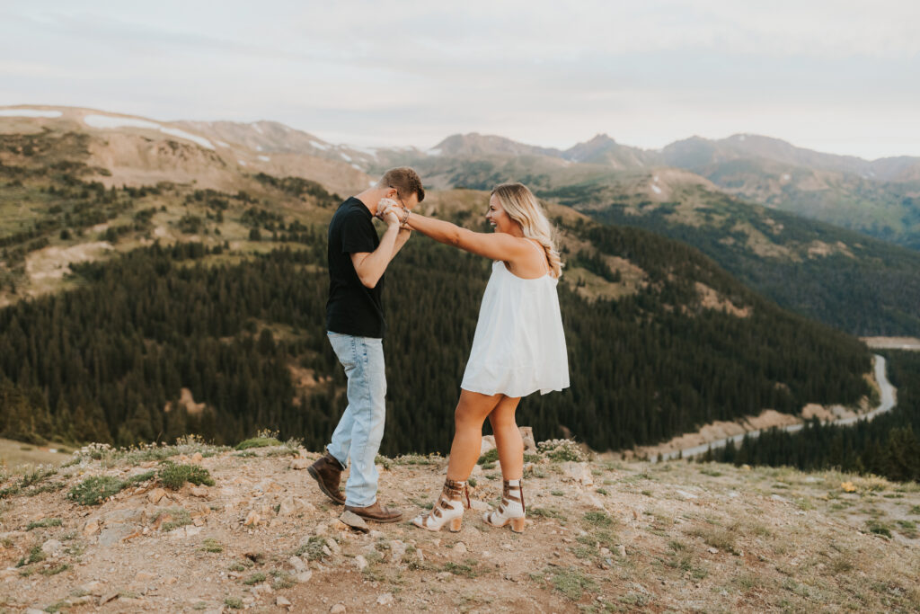
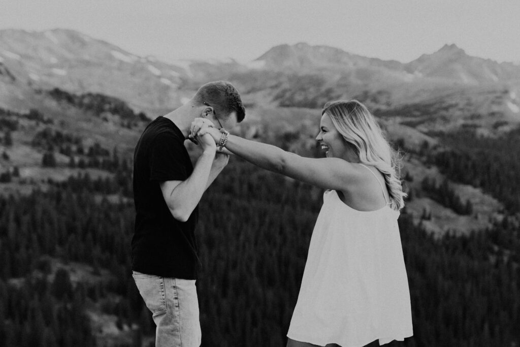
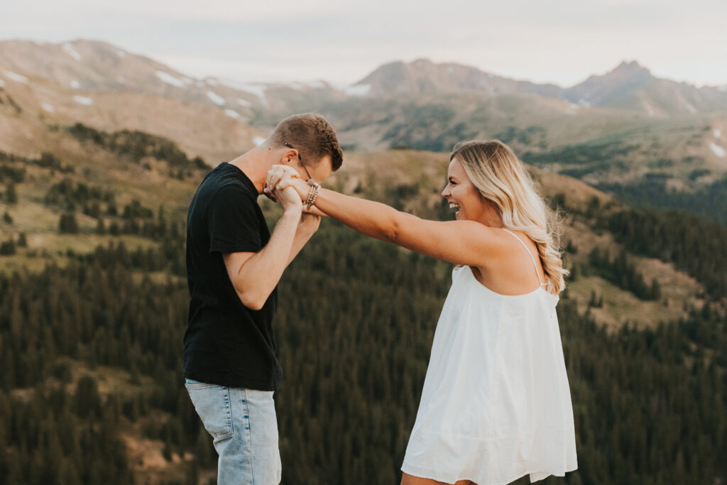
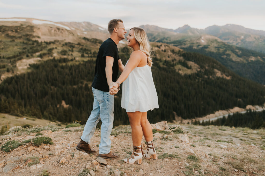
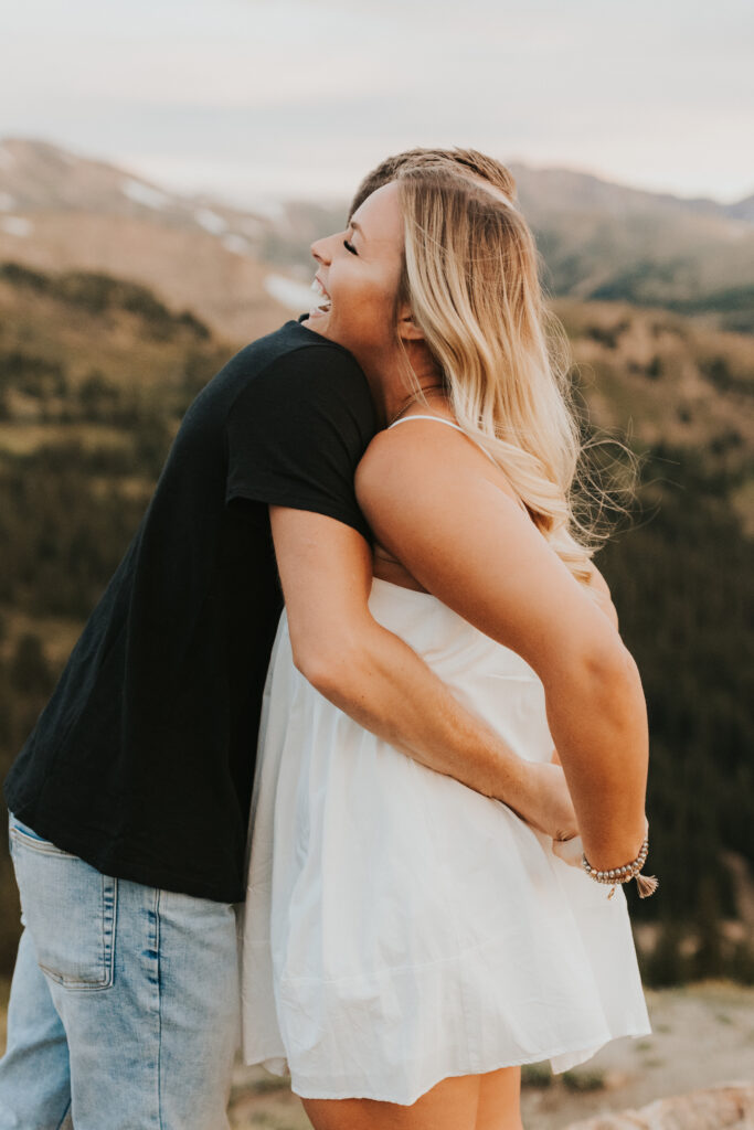
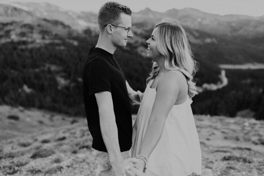
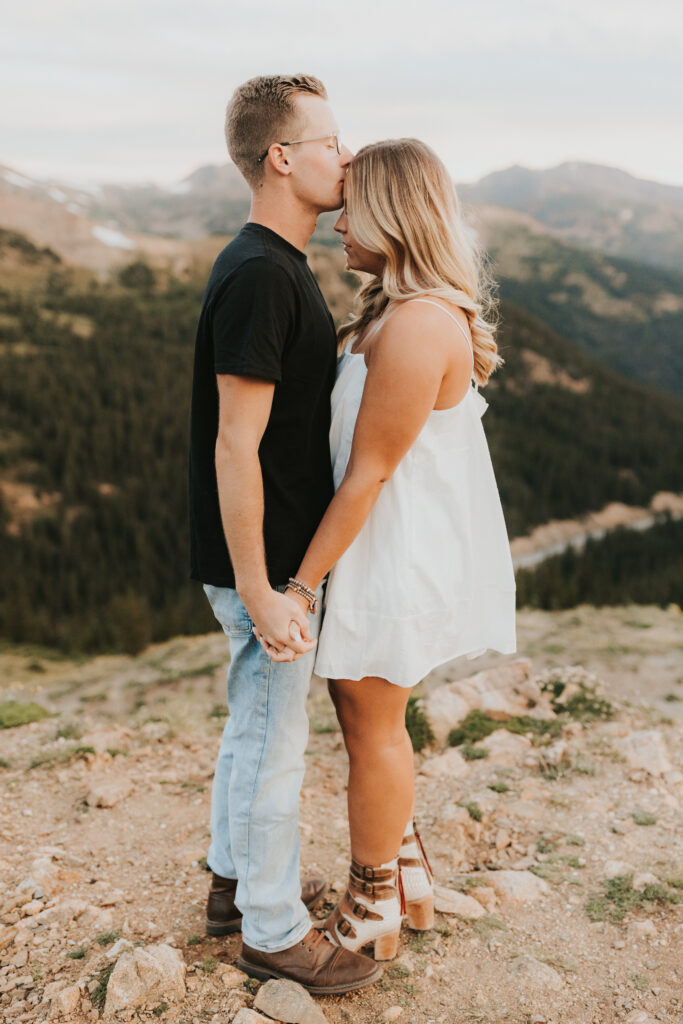
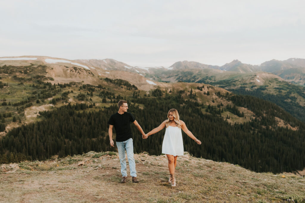
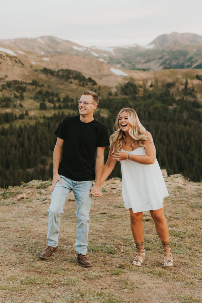
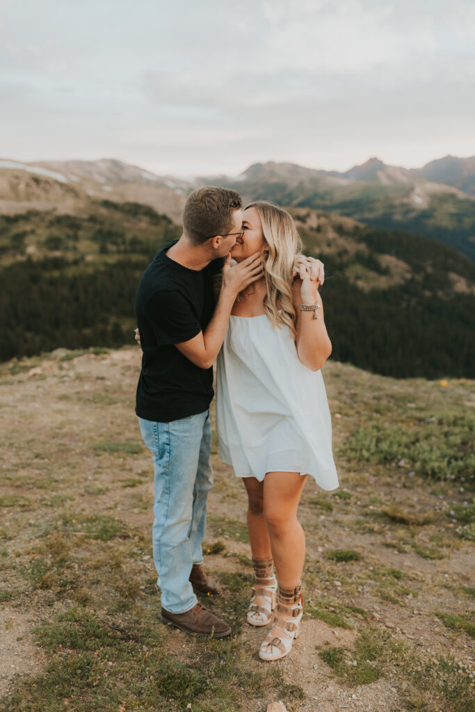
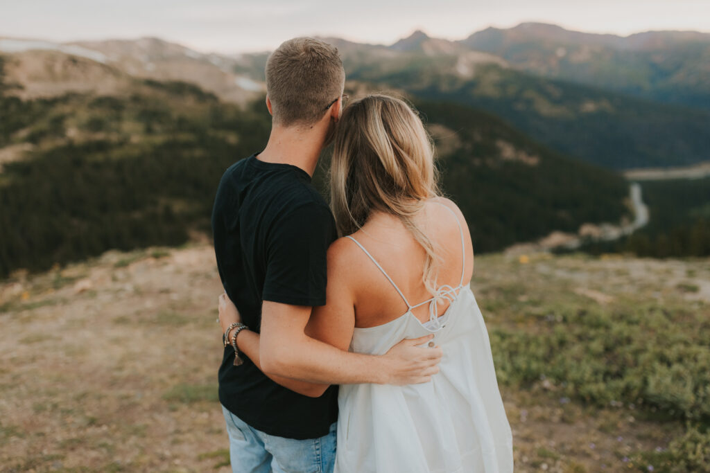
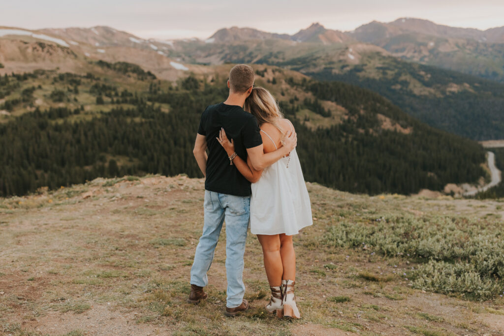
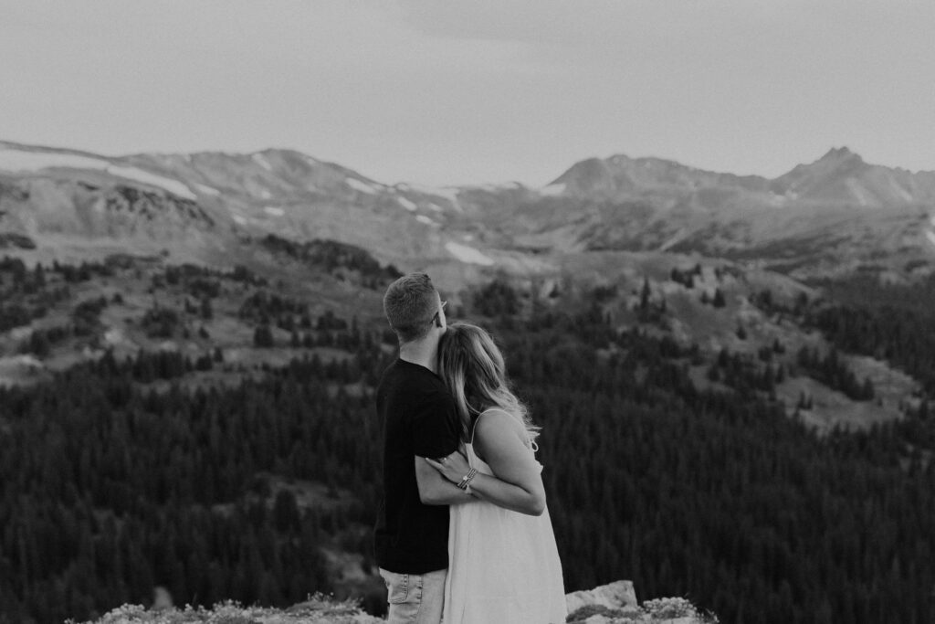
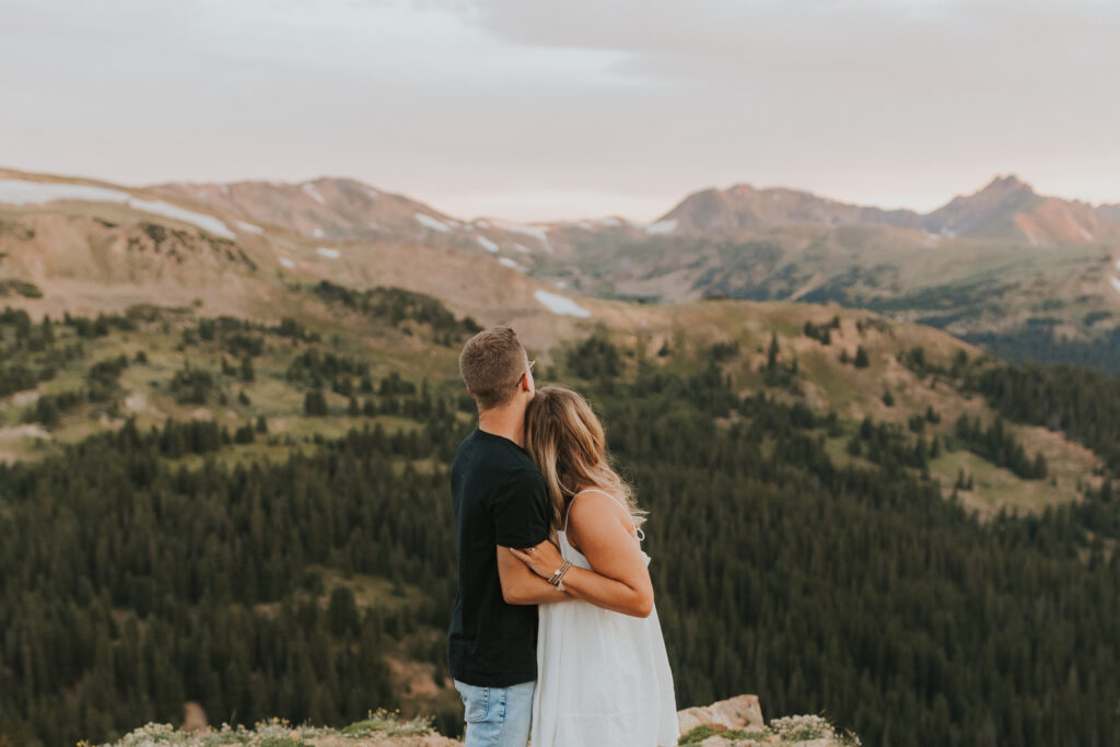
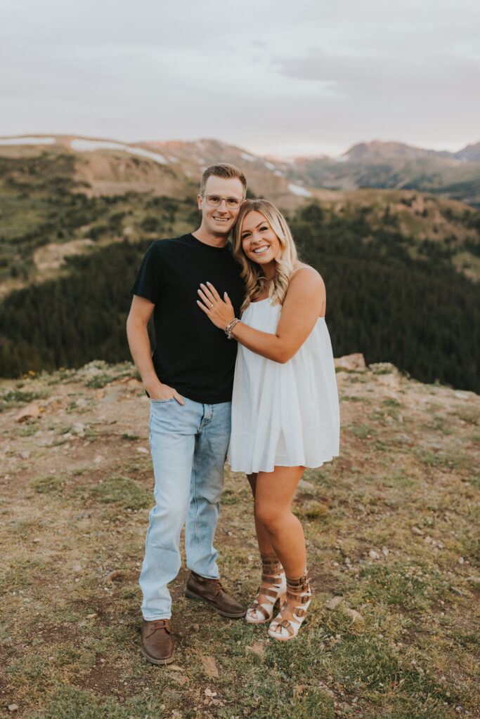
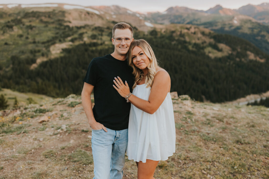
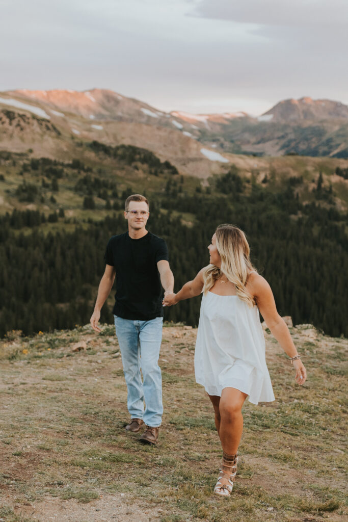
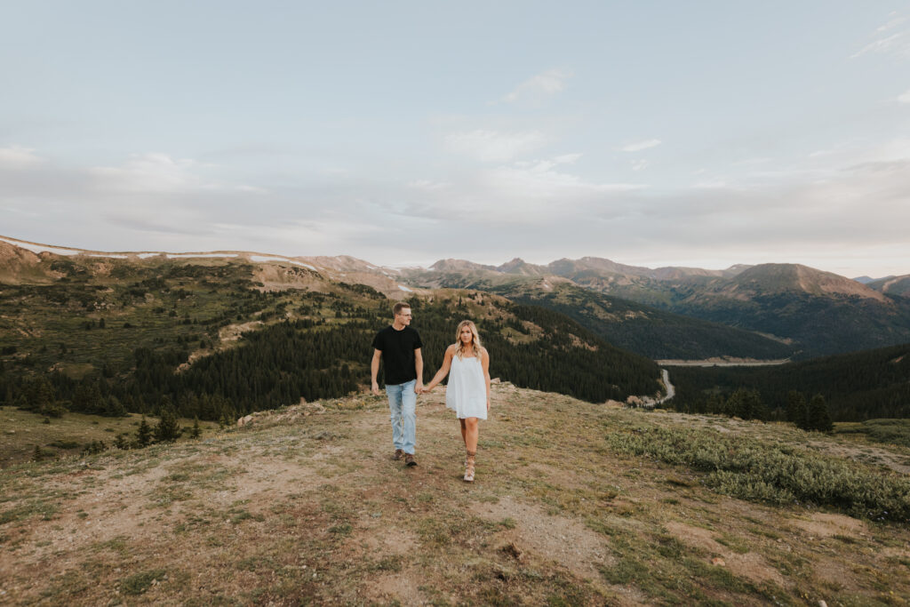
Looking for an epic location for your Colorado engagement session or elopement? Add Loveland Pass to your potential location list! Sitting at an elevation of 11,990 feet in the front range of the Rocky Mountains, Loveland Pass is known for its breathtaking 360 mountain views. This was my very first sunrise session and it did not disappoint. This session was mid July and we started photographing about 30 minutes before sunrise. If you decide Loveland Pass is your location, here are some things to know before making the trek there!
Location/Driving
Loveland Pass is 20 mile long mountain pass located on the continental divide, about 25 minutes east of Dillon, Colorado. It’s about an hour drive from downtown Denver, heading west on I-70. If you’re afraid of heights beware! There are some pretty steep drop offs with no guardrails and hairpin turns driving this pass.
- GPS Coordinates (Top of Loveland Pass/Continental Divide): 39.663589, -105.878858
- Nearest Towns: Silver Plume (to the northeast) and Dillon and Keystone (to the southwest)
- Loveland Pass Length: 20 miles (from exit 216 on i70 to the start of US 6 in Dillon)
- Loveland Pass Elevation (Highest Point): 11,990 ft
- Elevation Gain: 3,197 ft.
Weather
Expect snow October-March. Mosquitoes can be an issue in the basins and down by the lake in the summer so bring your bug spray! Also be sure to wear sunscreen any season due to being closer to the sun.
Permits
Due to Loveland Pass being such a popular spot, you’ll need a permit to elope here. Get in touch with the Clear Creek Ranger District for an application. Permits are not required for engagement sessions.
Want to chat further about a Loveland Pass engagement session or engagement sessions in general? Get in touch!
